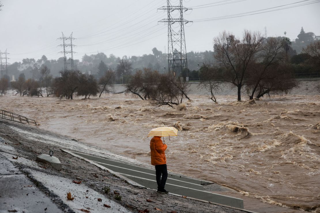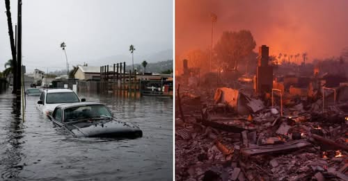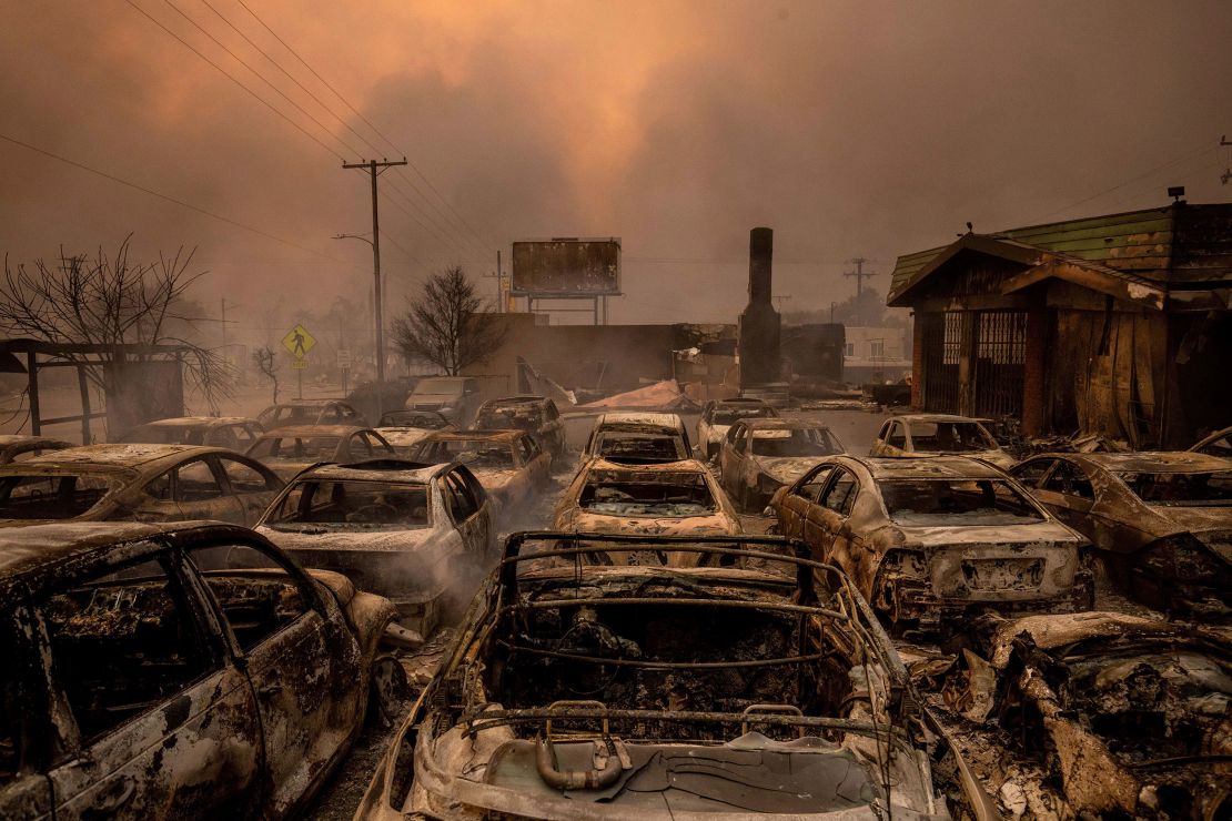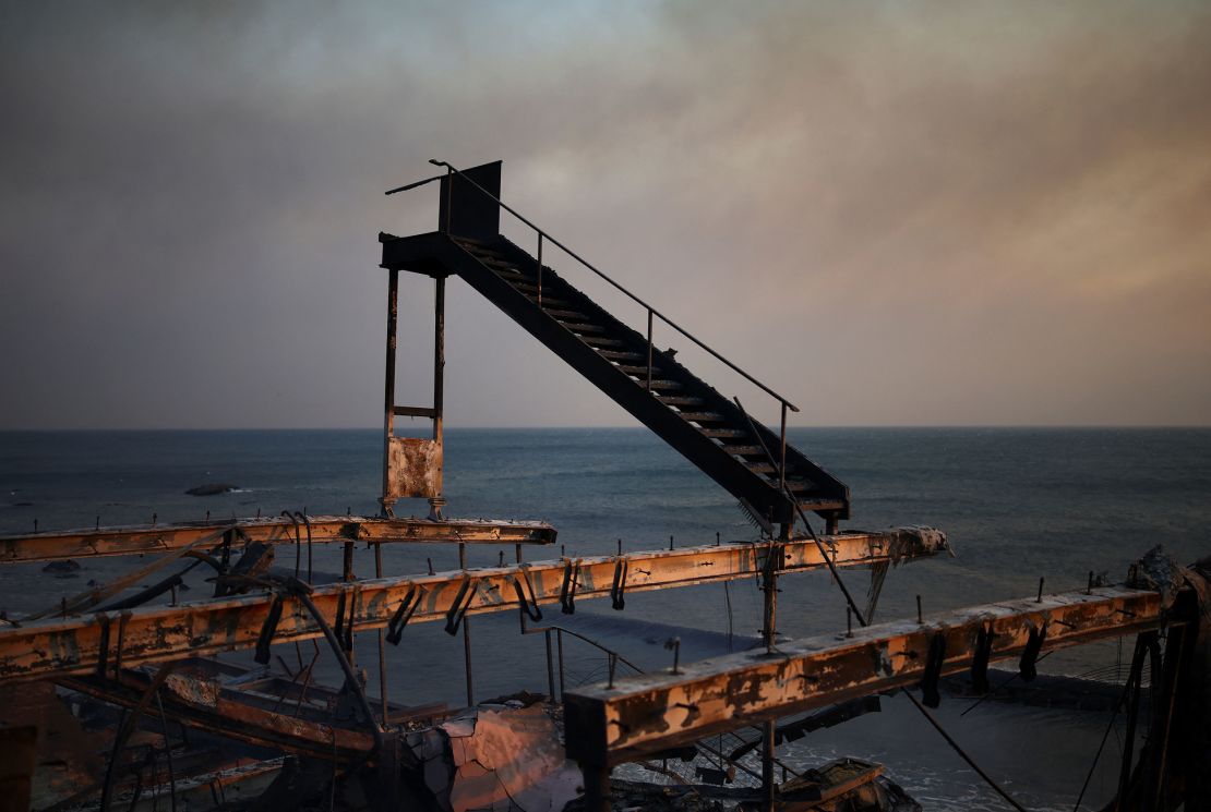
Southern California was under water less than a year ago. A siege of torrential rain from atmospheric rivers started in December and reached a crescendo in early February when nearly a foot fell in Los Angeles. It was a deadly winter of storms that flooded roads, floated cars and triggered hundreds of mudslides.
Now, the weather pendulum has swung the other way.
Drought has swept over the Southern California landscape after one of the region’s hottest summers on record, and the driest start to the rainy season on record. It turned all the vegetation that grew in last winter’s torrential rain into tinder that has fueled an unimaginable week: wildfires have spread out of control across Los Angeles-area neighborhoods, propelled by a once-in-a-decade windstorm.
“Had we seen significant or widespread precipitation in the weeks and months leading up to this event, we would not be seeing the extent of devastation we are currently seeing,” said Daniel Swain, a climate scientist at the University of California, Los Angeles.

California is uniquely susceptible to the worst of what human-caused climate change is throwing at us. The state’s Mediterranean climate is already governed by extremes; summers are rain-free and the majority of its precipitation falls in winter. So even small shifts in weather patterns can hurl the state into periods of biblical flooding or landscape-scorching drought.
These massive swings from dry to wet to dry conditions — known as “weather whiplash” — are becoming more frequent as the planet warms due to fossil fuel pollution, according to a study published Thursday in the journal Nature — and the these swings worsen the severity and chances of hazards like wildfires and flash floods.
Last winter’s torrential series of storms in California sent plant growth into overdrive, leading to what Swain estimated was double the average amount of vegetation for the region.
That material became the fuel for this week’s fires.
“This whiplash sequence in California has increased fire risk twofold: first, by greatly increasing the growth of flammable grass and brush in the months leading up to fire season, and then by drying it out to exceptionally high levels with the extreme dryness and warmth that followed,” said Swain, who co-authored Thursday’s study.
Bone-dry weather and abundant fuel are enough to trigger wildfires. But this week’s fires were supercharged by an unusually powerful Santa Ana windstorm — a devastating addition to the already-dangerous recipe. Flames were whipped from home to home by wind gusting to 100 mph, making it impossible for firefighters to get a handle on the fast-moving infernos.

The longer the wintertime rain takes to arrive, the longer California and its Mediterranean climate is vulnerable to extreme fire behavior.
Fire season in California historically culminated in October, when the grass and brush that was turned to tinder by summer heat collided with Santa Ana winds, before winter rains arrived.
But the Los Angeles firestorm is the latest example that there isn’t a fire season anymore in a warming world.
“This time of year traditionally has not been fire season, but now we disabuse any notion that there is a season,” California Gov. Gavin Newsom said Tuesday. “It’s year-round in the state of California.”
It has been the driest start to winter on record in Southern California, according to Swain, and forecasters at the National Interagency Fire Center warn it will remain at risk to “above normal significant fire potential” through January. It could also mean an earlier start to traditional fire season in higher elevation areas, the agency warned.
Violent fires will remain possible until the extreme weather pendulum swings back to wet and California gets a soaking winter rain. Climate change is making when that will happen even harder to predict.


